Monday, August 31, 2015

Windstorm

Some of my favorite walking trails suffered downed trees from the windstorm on Saturday. 

Here are photos from the loop road and from the Port of Skagit trail system.


Wednesday, August 5, 2015

California Quail

This covey of quail was getting ready to bed down for the night, right under the bird feeder. There are 11 birds in this compact little group:


I counted one adult female, two males, and eight chicks in this covey. The males have pronounced "Elvis" top-knots. Usually these birds camp out in an area screened by the underbrush, but perhaps the unattached uncle is giving them bad advice. 

 "Thankyouverymuch"

Monday, June 29, 2015

Wildlife

Lots of wildlife Saturday while I was wandering around the trails south of Little Cranberry. Click the photos to enlarge.

This squirrel had a soft bed of moss set up on a nurse log.


This towhee has a permanent frown on his beak, long claws, and evil red eyes!


Lastly, there was a raccoon about eight feet above the trail watching passers-by. He had an unnerving habit of licking his lips as he stared. 


Tuesday, June 23, 2015

Rotary Park Disc Golf Course


Anacortes has a par-3 Frisbee golf course now. Or "disc" golf if you're not in official league play, I suppose. This is a picture of hole 3 with hole 9 in the background. It's located in Rotary Park east of Cap Sante Marina.

Kudos to the folks responsible. This looks neat. 

The course map is on the city website here.

There is a Facebook page for the group responsible here


Sunday, May 17, 2015

Padilla Bay Trail

This is a nice flat walk between the tide flats to the west and agricultural fields to the east. The round trip is a little over 4 miles between the two trailheads off of Bayview Edison Road.


Pass Lake Loop/Ginnett Trail


Pass Lake is a short distance north of Deception Pass. Pass Lake Loop Trail doesn't loop around Pass Lake, it loops around a low hill to the west of the lake. There's less than 400 feet of elevation change as you hike along the 2-mile trail.

Most of the hike is along a wooded trail but a short distance is along a right-of-way on private property. This appears to have been partially cleared for development a few years ago (2011?) but then abandoned:


Along the loop trail, you can choose to head north towards Ginnett Hill:


Ginnett Trail meanders down into Naked Man Valley and up the other side to a trailhead at the end of Ginnett Road. The elevation change is less than the loop trail but it feels steeper going up and down the valley. It's about 1-½ miles from the Pass Lake parking lot to the Ginnett Road trailhead.

There's a concrete foundation near the end of the trail. Not sure if there was ever a home there or if one was started and never finished. You can see the north end of Pass Lake in the distance:


Now you've got to hike back to the parking lot the way you came:


Friday, April 24, 2015

Thursday, April 16, 2015

Guemes Channel Trail at Sunset

A few more photographs from the Guemes Channel Trail at the end of the day. Click individual photographs to enlarge them.


Saturday, April 11, 2015

Guemes Channel Trail now extends to Lovric's Marina

The Guemes trail now extends from Lovric's to the Ship Harbor Interpretive Preserve. It is paved nearly all the way. Probably a little over two miles from the preserve to Lovric's and back again.


Friday, April 10, 2015

Port of Skagit Nature Trail System -- North

This flat, graveled trail system wends around the industrial park and woods northeast of the Skagit County airport. You walk by businesses like FedEx, Hexcel, and Nordic Tugs as well as a couple of small duck ponds and through wooded areas. It encompasses about three miles of trails north of the airport, and connects with additional trails to the south. There is parking and a porta potty at the corner of Higgins Airport Way and Josh Wilson Road.

There is about half a mile of trail through this wooded area before you get to the old water tank. Click any picture to enlarge.


The markers have maps of the entire trail system so you don't get turned around. 


Across from the airport entrance are a couple of small duck ponds. 


The ducks seem pretty used to the commercial traffic, and wait patiently for trucks to pass before crossing the road from one pond to another.  The distance is too short to fly, apparently. 


Most of the trails have commercial buildings on one or the other side. The roads can be busy during work hours, but are almost completely unused by the early evening and on weekends. 


Tuesday, March 31, 2015

Canoe Pass and Lottie Bay

Walked from Pass Lake along the trail that parallels Highway 20 to Lottie Bay and Deception Pass. There were some kayakers negotiating Canoe Pass underneath the north span in what looked to me to be some pretty rough water. They seemed to be enjoying it, though.


Here's a view of the south span over Deception Pass. 


 Flowers along the trail. 


 This panorama shows both spans of the bridge. 


Lottie Bay was calm compared to the pass. 


Kukutali Preserve and Flagstaff "Island"

This preserve just opened to the public last year (2014). Access is off Snee Oosh Road about five minutes west of La Conner.

The small parking area on Snee Oosh only holds about five cars. Your Discover Pass is needed to park (or pay a one-time $10 fee). Walking access is along Kiket Island Road, a gravel road that is closed to vehicles. Between the Kiket Road and the two forest trails you can do about 2-½ miles of easy hiking. Flagstaff "island" (you can walk to it) on the west end of the preserve is closed to visitors right now to protect the habitat.

Once you get to the west end of the preserve, you can make out Deception Pass Bridge and Mount Erie/Sugarloaf across Similk Bay. I saw a hawk, eagles, geese, and a blue heron while I was there. And of course seagulls. Wasn't quick enough to get photographs of them all, though. Also some orange flowers were blooming everywhere that I didn't identify.


Kiket Island Road with Similk Bay on the right. You can see Mt. Erie and Sugarloaf across the bay. 


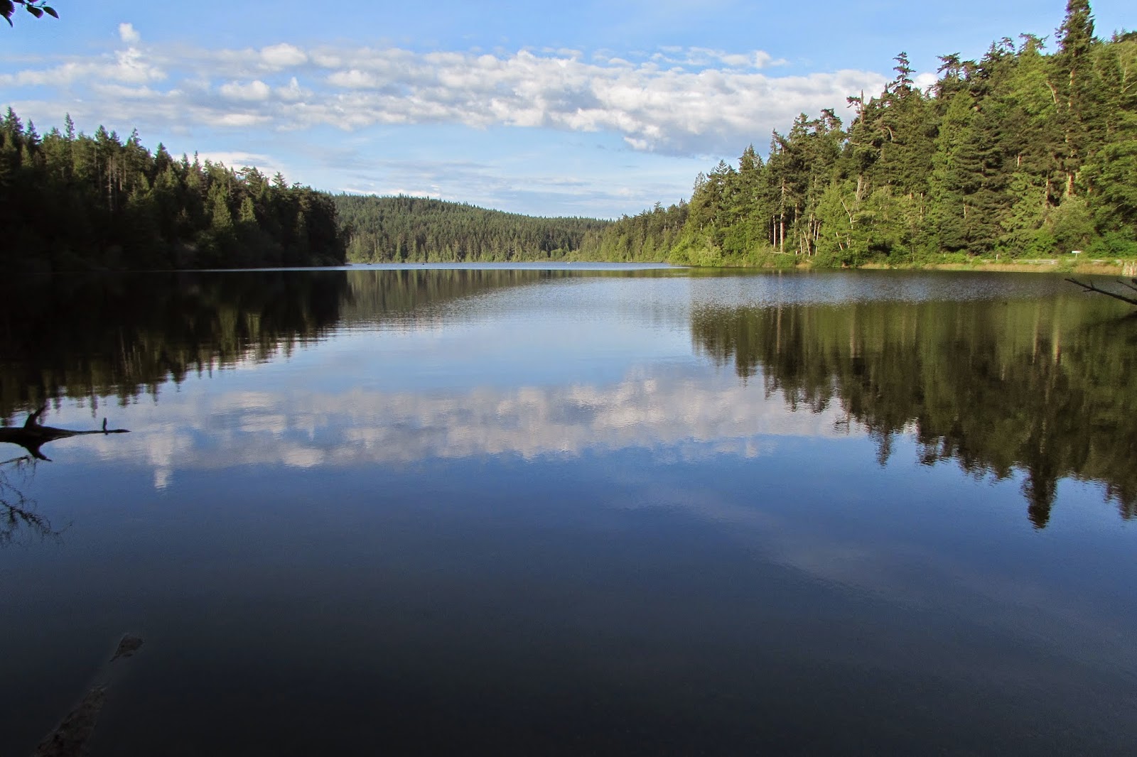
There is a large central field at the west end of Kiket Island Road.


These Canada Geese were conducting land/air/sea operations the whole time I was there.


This heron was roosting in a tree near the entrance.


A seagull was the only other photogenic wildlife. 


You can make out Deception Pass Bridge across the bay to the west. 


These orange flowers were blooming at the edges of the field and along the trails. 


There are two trails that run parallel with Kiket Island Road through the woods. You can also clamber down to the beach if you're of a mind to.